


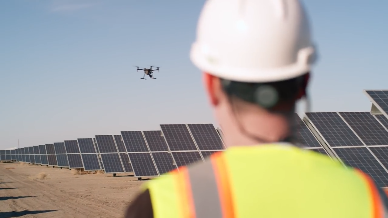
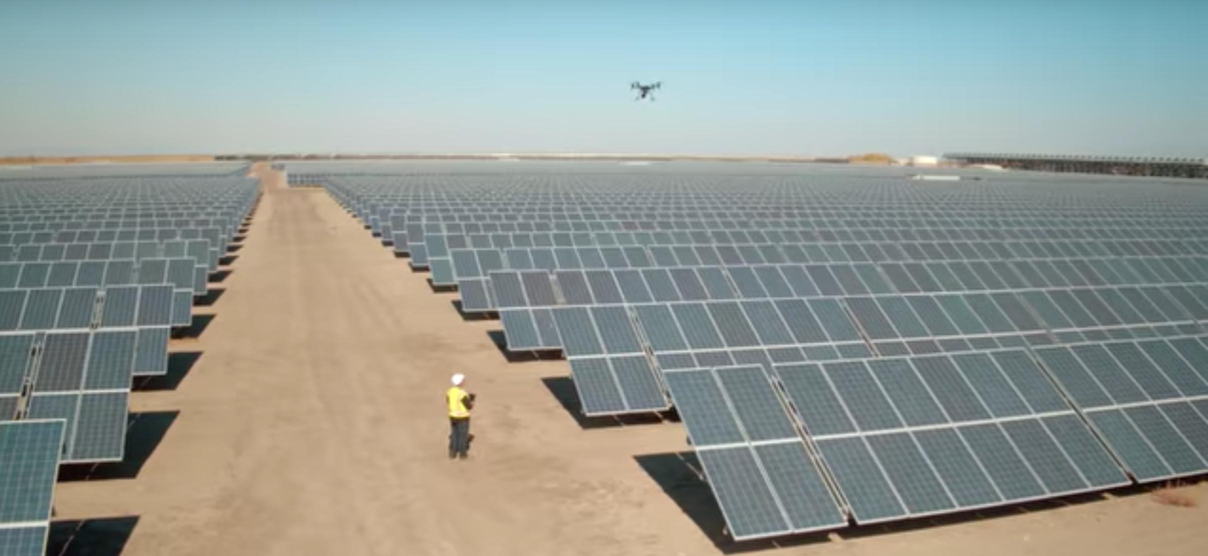
In recent years, drones have made the leap from machines of science fiction to tools of practicality in our everyday lives. Not only have they become more common, but also more necessary to keep up in today’s increasingly intelligent world. Among many other uses, drones are capable of inspecting different assets and collecting massive amounts of data that enables precision, planning, and levels of efficiency that were not previously possible. However, these large quantities of data are only as useful as their analysis and applications.
This is why our member company, Raptor Maps, has become a central player in the business of making sense of these large quantities of data. Recognizing the equipment and data were already largely accessible, Raptor Maps’ founders decided to create software that could actually put this information to use. The company builds intelligent software capable of converting drone data into deliverables for asset owners in any industry, their current focus being clean energy and industrial asset inspection.
Raptor Maps was founded in 2015 when it won the MIT $100K competition. From day one, co-founders Nikhil Vadhavkar and Eddie Obropta were focused on using machine learning and thermal imaging applications for agriculture and utilities. The company got its start by providing customized analytics for clients in these industries. Eventually, management and operations companies using drones to inspect utility assets and struggling to turn the data into reports sought help from Raptor Maps. After years of working in the energy industry, their primary focus gradually evolved into data analysis and reporting of solar farms.
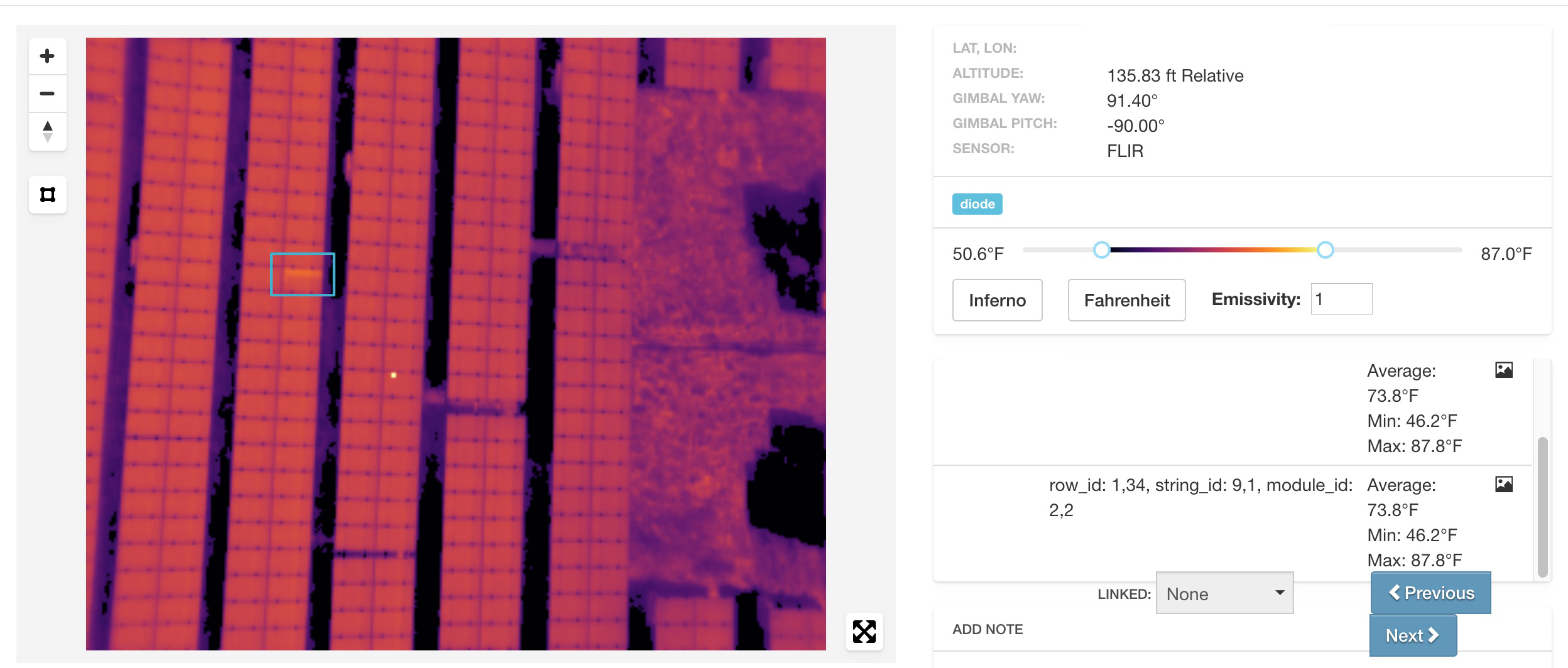
Today Raptor Maps builds AI software for the Solar industry to automate the review of the large amounts of thermal and color imagery collected from a drone inspection. Their software uses machine learning to identify, classify, and locate issues that may need to be addressed on a solar farm. The analytics are delivered as actionable reports for management and field technicians. In short, it saves companies massive amounts of time and cash in regards to solar maintenance.
A sample PV plant inspection report can be found here. The company has also been extremely dedicated to educating the industry about the value of using drones for inspections and how to inspect solar farms with drones. You can review their recent webinar with FLIR Systems here and read about the value of drones in Solar O&M in this SolarPro article.
Another component of the company’s services is the Raptor App, which is the software platform that allows any drone professional to manage and analyze thermal and color drone data. The app’s complementary component is Raptor Maps’ custom machine learning solutions, or Enterprise AI, which turns raw inspection data into custom analytics. Enterprise AI can be used by any asset owner that uses drones and aerial data including, but not limited to, electrical and water utilities, infrastructure, agriculture, and publicly-traded companies that are deploying drones to improve asset management.
Looking forward, Raptor Maps is working toward saving customers even more time by creating tighter integrations into workflow management and client software. Raptor Maps is also creating the option to load certain analytics onto drones in real-time as they fly, as the current solution requires the data be uploaded to a separate entity. This could potentially save customers even more time, as it reduces the number of necessary site visits.
We believe Raptor Maps is paving the way for industrial inspection and AI-driven data reporting, and are excited to continue to support their progress and watch them grow. If your business is interested in Raptor Maps’ software and services, contact the company here.
Stay updated by following @RaptorMaps and @GeentownLabs!